MC Raven Trip Report 13 - Dalton Highway
MC Raven Trip Report 13

I recommend you right click on this map and open it in a separate tab/window so you can follow along with the narrative.
Both Shane and Marian have reminded me that it’s been a
while since I updated these logs – not since Dawson City and the Top of the
World Highway in fact. Indeed, since then I’ve completed the Dalton Highway
trip all the way to Deadhorse/Prudhoe Bay. In addition to the physical exertion
it demanded, the mental effort of pushing my machine up the road has caused me
to spend most of the past two week’s vegging out at Shane’s place: he’s been
very patient with me. I took lots of pictures both on the way up the highway
and back down. I’ll post the best of them here. This is what my brains looked
like by the time I finished the ride.

I left Shane’s house on Saturday the 20th of June
planning to spend the night at the Arctic Circle in time for the Summer
Solstice on the morning of the 21th. It’s been more than 20-years since I’ve
been this way. Back in the early nineties, Christine, Marian and Marian’s best
buddy Sunja and I drove up to the Circle. We pulled a small trailer behind our
little Suzuki Samurai to carry the camping gear. I rode along in front of the
family on Christine’s beautiful Honda Shadow (a wine-red, 600cc cruiser she’d
paid for herself with money she’d received for getting people to sign up for JC
Penney’s credit cards. She was very proud of that bike – I was very, very
careful of it. Surprisingly, it turned out to be quite capable of handling the
first part of the Dalton Highway.) We camped alongside Fish Creek on our way up
to the Circle: the beavers who already claimed that section of the creek were
not happy to see us. All night long they slapped their tails on the water
trying to drive us away (night is kind of a flexible term here where it never
gets dark). Anyway, what the beavers couldn’t accomplish, the mosquitos could.
We were all trapped inside our tents and were happy to press on to the Circle
in the morning. This year was, alas, no different. Mosquitos everywhere!
From the time you head north out of Fairbanks, the pipeline
is almost always right alongside the highway. There’s plenty of opportunities
to take your picture with it – so, I did!


The bridge over the Yukon River seems like the real
beginning of the Dalton (even though by the time you get there, you’ve been on
the highway for more than 50 miles). The road surface of the bridge is made of
wood – when we came up here before, many of the boards were broken with large,
tire-grabbing gaps between them. You could (if you could get up the nerve to do
it) look straight down through the holes in the bridge deck to the water below.
On top of that, the boards are lined up in line with the road, not across it.
No doubt that saved in construction costs and lumber but, the gaps between the
boards are constantly trying to drive you motorcycle in directions you may not
want to go. Finally, the bridge deck is covered with dirt and dust knocked off
all the trucks coming down the highway. When it rains, the dirt/dust turns to
very slippery mud on top of a very slippery wooden bridge. This time (like
last), I was happy to cross over to the other side. As I was crossing, I
stopped to take this picture. Notice the thunderstorm brewing in the distance.
Lightening from that (and other storms) started fires all across the interior
of Alaska.

By the time I was across the Yukon, it was about 11AM and I
was ready for breakfast. Yukon River Camp is my first gas stop since leaving
Fairbanks. I filled my tank and was just sitting down to eat when in came at
least 10 motorcyclists: all around my age. Turns out they were part of a tour that
started at Key West in Florida and were heading to Prudhoe Bay/Deadhorse too.
At the Yukon River Camp, you leave your credit card with the cashier inside the
restaurant, go pump your gas then, return and charge (or pay cash for) your
gas. Every single one of those riders lined up and went through that routine.
They’d been traveling together for weeks across America and much of Canada and,
couldn’t figure out a way to pay for the gas better than ‘separate checks.” I
just sat and watched and enjoyed my salmon tacos – a real treat at the Yukon
River Camp.
I made it to the Arctic Circle by early afternoon. There
were campground hosts there that helped take my picture in front of the sign
(everyone who visits here just has to
get their picture taken). Then, I settled into the no fee campground up the
hill from the sign and picnic area. Mosquitos by the gazillions found me and
kept me prisoner inside my tent for the rest of the day.

From the Circle it was an easy (heh, heh) run up to Coldfoot
Camp where I was able to get lunch and buy the Arctic Circle sticker for the
bike. I filled up my tank (and spare gas can too just in case) then headed on
up the highway heading to that night’s stop at Galbraith Campgrounds to the
north of the Atigun Pass.
The scenery was spectacular! Before Atigun Pass you go by
Sukakpak Mountain (every bit as stunning and powerful as Devil’s Tower in
Wyoming). And go past the Furthest North Spruce (no longer there - apparently,
a vandal killed it in 2004. Where the next Furthest North Spruce is now, no
one’s telling).

The Atigun Pass was amazing to see and drive. Thankfully, in
my case, dry and no other vehicles to block the view or throw up clouds of
dust. I can easily imagine that in rain or, God forbid, ice and snow, the pass
would be a pretty scary ride.
Galbraith Lake Campground is a very primitive campground:
there’s a vault toilet, a bearbox with a broken lock and nothing else. The camp
is located at the end of the runway (no planes landed or took off while I was
there) and, the road to the camp required some of the most demanding riding of
the entire trip! There were two other bikes similar to mine at the camp. They
and I played highway leapfrog for the rest of the journey to Prudhoe Bay.

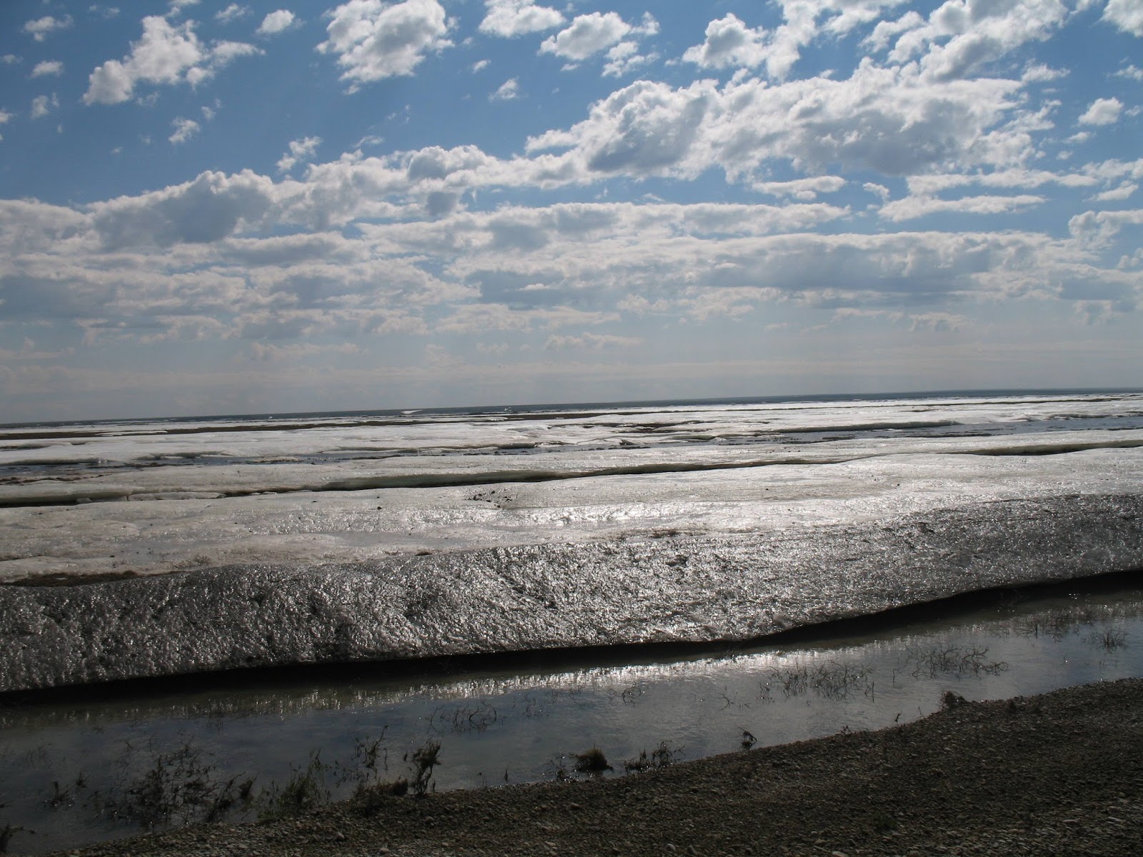
View from Galraith Lake Campground – Rain clouds in
the distance
The Dalton Highway is made up of patches of paved road
interspersed with gravel or graded dirt. The paved sections were the worst for
riding. Paving tricks you into thinking that you can go faster then, a pothole
that could swallow you whole appears just in time to slam your suspension
before you’re thru and out the other side. These are the kind that bend rims
and cause tubeless tires to go flat in the middle of nowhere! The potholes are
square sided and abrupt while holes in the dirt sections are rounded and much
less jarring. There’s also long sections of road which has been treated with
calcium chloride spray. When dry (like my visit) these are as smooth and easy
as any backcountry highway. It’s a crazy experience; you’re zooming along and
look down at your speedo only to discover that you’re doing 80 mph on a dirt
road!


Opposed to those sections are the ones where the center dump
trucks have just laid down a long hump of dirt/gravel; the road grader then
spreads this across the lane of the highway and, if you happen along before
this is packed down by traffic, your front end sinks into a road surface as
soft as a pillow.
I found that the best way of dealing with these soft
sections was, instead of letting off the gas and grabbing some brake (which is
your instinctive reaction) you’re better off giving the bike a little gas
instead. When you accelerate the bike’s weight shifts back, the rear tire digs
in and gets traction (instead of going light and trying to pass you) and the front of the bike
lifts out of the soft stuff (instead of digging in as it would if you brake or
decelerate). You have control again! The only problem with this technique is:
on long sections of soft stuff, you’re constantly accelerating and, going scary
fast by the time you get to the end of the section.
I stopped for gas at the Nana Corporation gas station in
Prudhoe Bay and met up with the two bikers from the Galbraith Camp: Ron riding
a Triumph Tiger and Wayne riding a newer BMW GS. We teamed up and explored town;
stopping for lunch at the Aurora Hotel and dropping by the little Deadhorse
Camp Store for picture taking and sticker buying. They were going to head back
south (there’s nothing for tourists to do in Deadhorse. Hotels are very
expensive and oilfield workers have priority for available rooms.) I went by
the “Prudhoe Bay National Forest” for a picture taking visit then went back to
the store and bought a mosquito net for over my head and some spray for the
rest of me! No more tent-prisoner for me!

Nana Corporation gas
pump. MC Raven the rear, next is Wayne’s R1200GS then in the front of the line
is Ron’s Triumph.

Wahoo! I made it to
the Furthest Point North in North America that you can drive!

Yep, that’s the
Purdhoe Bay/Deadhorse National Forest.
On my way south, just 10 miles south of Prudhoe
Bay/Deadhorse I saw the strangest sight. To the right side of the highway was a
small lake. On the lake were people water skiing behind parasails. To the left
side of the highway was the river and, on the other side of the river was a
herd of muskoxen! The juxtaposition of people water skiing just a few miles from
the Arctic Ocean and the ancient muskoxen was stunning. I could scarcely have
been more amazed if a wooly mammoth sauntered by.

Musk Oxen doing the
Musk Oxen thing while watching water skiing across the highway.
I made it back to Galbraith Lake Campground just ahead of
Ron and Wayne (they’d had to turn back to Prudhoe Bay/Deadhorse to fix a flat
in Wayne’s rear tire). Here’s pics of R and W at the campground and, later at
the northern start of the Atigun Pass.


Looking back on the
foot of Atigun Pass (North side).


Here’s some other pics
I took from the highway. Keeping your eyes on the road, instead of the
wonderful scenery is tough!
Along the way I met other riders: Zorin (riding a Moto Guzzi)
from Quebec, Carlos (Triumph Tiger) from Sao Paolo, Brazil and, didn’t get his
name (Suzuki DR650) from Toronto, Canada (more on him later).
After leaving Galbraith Lake Camp my adventures continued.
Though I’d filled up my tank in Deadhorse the day before and added the contents
of my spare gas can at Galbraith Camp, I ran out of gas just north of Wiseman!
Running with Ron and Wayne (maybe showing off a little) had run through my gas
much faster than on the northbound leg. Luckily for me, I use a multi-fuel camp
stove that runs off gasoline. I was able to dump both little bottles (about 15 oz
each) into the tank and limp my way into Coldfoot to tank up. According to MC
Raven’s owner’s manual the gas tank holds 5.3 us gallons. I filled it with 5.15
us gallons. Even with the stove fuel I had just over 1 tenth of a gallon in my
tank!
I had lunch with Ron and Wayne at the café at Coldfoot then
headed down the highway straight into a flat tire! 27 miles south of Coldfoot,
my brand new – not even a month old – tire picked up a large, sharp rock that
slashed my rear tire. Hole was too big to plug with my repair kit. R & W
caught up with me and even with their help we couldn’t get it repaired. Luckily
a crew van from Coldfoot came along and offered me a lift back to Coldfoot Camp
where I was able to arrange for a truck with a trailer to drive back down and
haul my bike back to get tire patched. Patch job cost about $20, the tow charge
was $285! The patch lasted long enough to get me back to North Pole before it
went flat again so, another new tire - $190 installed! The Dalton Highway makes
you pay for the privilege of riding it.
After spending the night in Coldfoot waiting for the tire
repair guy to come in in the morning and fix my flat I headed back down toward
Fairbanks. About 30 miles after crossing the Yukon River Bridge I spotted a
young man and his motorcycle alongside the highway. He seemed to be pretty disoriented
and his gear was scattered all along the roadside. I stopped to ask if he was
alright. Seems he was so distracted by the scenery that he rode off the highway
at 40mph, over the bank and, into a stand of young willow trees.
His injuries included a strained back and neck but no broken
bones. His bike had lost its windshield and twisted the forks 35degrees off
true. When he discovered how much it would cost to have it towed back to town
he decided to try to ride his bike back to Fairbanks and the hospital. I accompanied
him until we headed to out different destinations.
Afternote: when I got my tire replaced I mentioned him to
Dan Armstrong at Alaska AdventureCycleworks. Dan was able to straighten out his
forks and the young man headed back up the highway!


Back in North Pole to
visit with Shane
All in all, a mind-numbingly beautiful, physically
challenging absolutely once-in-a-lifetime ride and, I even got the sticker to
prove I did it!


posted by SV/MC Raven at
12:54 PM
![]()
![]()


1 Comments:
Go get 'em Davd! Enjoyed speaking with you at Mariposa during the Horizons Unlimited event and look forward to your travels.
Post a Comment
Subscribe to Post Comments [Atom]
<< Home