Saturday, October 31, 2015

M/C Raven Trip Report 24 – Canyons, Canyons and More Canyons


Leaving Fruita CG I headed down SR-12. A great, winding, twisting, up-and-down motorcycle wonderland! Also, bicycles – lot’s and lot’s off bicycles. Frequent viewpoints – I left a little of Christine at one of the most spectacular.


The bike – with its AK plates, stickers from all around North America and all my gear is starting to attract a lot of attention. Many people have admired the tent Michael gave me. Lots of questions about the trip: route, gear, bike, where next. Husbands see me, at my age, and get ideas. Wives remind them that dinner’s waiting.
I came into Utah via the Bonneville Salt Flats and Interstate Highway to Salt Lake City. Not a very pretty ride. Since I came into the South East though, I’ve gone into gorgeous overload.
I spent all of 9/10 riding through Bryce Canyon. It’s every bit as beautiful as Christine promised. I stopped at every lookout and took more pictures than I thought possible. Left a little of Chrissy there too. A person could spend a lot of time riding around southern Utah and not see it all.


Note to all of you over 62’s out there: if you don’t have a Senior Pass for Federal Lands (BLM, National Forest, NPS, etc.) get one! Mine has paid for itself a dozen times this summer. Today, going into Bryce NP they just waved me in without having to pay admission. I expect the same tomorrow at the North Rim of the Grand Canyon (normally a $30 entry fee – free with the pass).
I spent 2 nights at Red Canyon Campground. A great stopover – thanks for the recommendation Jim. It’s close to Bryce and Zion National Parks and, very scenic in its own right. Comfy campsites, flush toilets, $2.00 showers and water convenient to each campsite – all that and ponderosa pines and wonderful sunsets over the red rock canyons.

M/C Raven Trip Report 23 – 4 Corners, 7th Ferry Ride, Crashed on Castle Reef


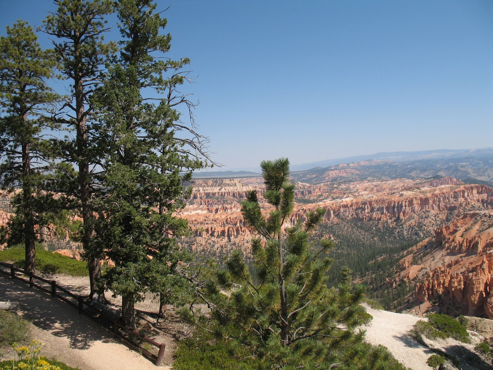
So, I spent the entire Labor Day long weekend at the Horsetheif Campground. Each evening as he made his rounds, Jim the campground host, would stop by and we’d chat for an hour or so. Jim’s retired and spends half his year in Arizona near the river and the other half campground hosting here in Utah. A very interesting guy.

It was Jim who pointed out that the Four Corners monument was just a half day’s ride that-a-way. He also mentioned a couple of campgrounds further along my route that he liked a lot. I took his advice on all accounts and had a great time too.

To get to the Four Corners area you ride south east from Moab, leave Utah and pass through the southwest corner of Colorado. You know that you’ve entered Colorado because, every second building you see is a liquor store. Looking back, I couldn’t remember a single one in Utah. Colorado liquor store owners must make a killing off wayward Mormons. Anyway, you pass through liquor store central then turn south into Tony Hillerman country. After enjoying all those Joe Leaphorn/Jim Chee books, coming to Teec-nos-pas and Shiprock was like visiting an old friend.

The Four Corners monument costs $5 to get in then, you park and walk into this large, circular area sectioned off into quadrants. Each quadrant has, following the arc of the circle, a bunch of stands selling tourist souvenirs (you can see the souvenir stands behind me in the picture below).  The only souvenir I wanted was a Four Corners sticker for my bike. The guy in New Mexico had just what I wanted.


We all had to stand in line to get our pictures taken on the bronze marker. Some people posed, some lay down, and some placed a hand or foot into each quadrant. No one just stood there and got shot. I think my picture turned out really well. It was taken with my camera by another biker who stood in line with his rider father just in front of me. I took theirs too.

I left the Four Corners and headed back north west through the corner of Arizona and back into Utah where I spent the night camped in a National Forest campground just south of Moab. Woke up the next morning and headed for Natural Bridges National Monument.

Natural Bridges’ rock formations are, geologically, much older than those in the Arches area to the north. Looking at the interpretive sign in the photo below shows that Natural Bridges are hundreds of millions of years older. They look it too. The color is completely different, the surrounding terrain is much more worn down; the elevation is lower and the temps much hotter.

Leaving Natural Bridges I decided to take the ferry across Lake Powell. My 7th ferry ride of this trip so, I left the main highway and took the road to Lake Powell and the Ferry Charles Hall. Cost $14 for an hour out of the saddle watching the shore slip by. Temps in the 100deg plus, I was ready for a break.


Leaving the ferry dock I headed back up the road and rejoined the highway. One of the Campgrounds that Jim had recommended was Fruita National Park campground. It’s the site of an old Mormon settlement and still has some of the original buildings and orchards. The National Park Service maintains the orchards and, since the trees are still producing fruit, you can pick apples, pears and other fruit when it’s in season. You have to compete with the local deer population though.

Also on the site is one of the original homes where a visitor can buy pies made from the locally grown fruit – also homemade ice-cream (YUM!).

I spent only one night there but enjoyed the presentation by a couple of rangers. One spoke about how non-indigenous species can damage an ecosystem (ironic since the National Park Service is maintaining the park with its non-indigenous turkey flock and deer population). The other presentation was star and constellation recognition. Fruita NP (and the greater Castle Reef area) counts its dark nights (no light pollution) as one of its more important assets. It was definitely dark and you could see the full band of the Milky Way and lots of constellations.

Tuesday, October 27, 2015

M/C Raven Trip Report 22 – Raven meets Wiley Coyote


I figured that after battling the dry lake bed dust, I’d have it easy for a while so, as I headed through downtown SLC I decided to turn off and check out the Mormon Temple.

The entire downtown area is solidly Mormon/LDS territory. There’s church administration offices, colleges, museums, the Temple itself, office after office of LDS bureaucracy. Well, I could check that off my to do list.

Got back onto Interstate 15 and headed south right into an accident that closed all 5 lanes of the interstate for 2-hours! 2-hours of move forward 10 feet then stop. Going slowly on a motorcycle is tough in the best of circumstances. Doing it in 100deg temps was murder. When I finally made it past the choke point, I headed to a McDonalds for something cool to drink and a check of email.

I headed down the highway towards Moab and the Canyon Country. But first, I stopped at the very first campsite I found and crashed out for the night. Lakebed dust and traffic jams had done me in. I filled and emptied my water bottle 3 times that evening.

Next morning it’s up early (I seem to get up just about sunup these days) and down the road where I spotted this motel sign. Kandi will recognize that it copies the Super 8 colors, look and feel, and even the buildings look like a Super 8. I saw several of these motels in Utah.

The country I was passing through changed from mountains to mesas and buttes. Balancing rocks started showing up and, I swear, I saw a roadrunner! I was pretty impressed with the landscape. Boy did I have a surprise coming.

I went through the town of Green River and had my first Taco Truck meal. It was great going down; not so great the next day.

I arrived at the Arches National Park just at Labor Day weekend. The place was packed. Every campground inside the Park was full but, the Ranger at the Visitors Center pointed me toward Horsethief Campground, a BLM campground about 15 miles from the Arches. The road up to Horsetheif was almost a beautiful as the National Park was, with plenty of picture opportunities and pull outs.


I spent 3-nights at Horsethief exploring Moab and the surrounding area. The Arches is the pearl but, Canyonlands, and Green River are amazing. Colors, pinnacles, arches, windows, balancing rocks. You leave here with now doubt about where Walt Disney and the artists for the Roadrunner cartoons got their ideas and palates.

I’ll post a bunch of pictures of this amazing place. This is really a place where a picture is worth a thousand words.